Wednesday 9th July 2014
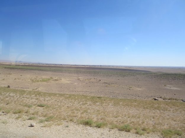
Today I visited Petra. It was an early morning start, up at 5.00am to be at the bus station at 6.00am. It was a very comfortable, modern, air-conditioned bus for the 3-hour trip from Amman to Petra in southern Jordan. We took the Desert Road, a long, straight strip. Not much agriculture in this part of the world!
However, in the south towards our destination, there was some low-lying, shrubby, green growth, sufficient for the goats.
On arrival, as I was getting my ticket, I teamed up with a another tourist who had been on the bus with me. He turned out to be a South African from Cape Town, now working in London as a photographer. We shared the cost of a guide to accompany us through the site.
A Brief Introduction to Petra
Petra (Arabic: البتراء, Al-Batrāʾ; Ancient Greek: Πέτρα) is a historical and archaeological city in the southern Jordanian governorate of Ma’an that is famous for its rock-cut architecture and water conduit system. Another name for Petra is the Rose City due to the color of the stone out of which it is carved.
Established possibly as early as 312 BCE as the capital city of the Nabataeans, it is a symbol of Jordan, as well as Jordan’s most-visited tourist attraction. It lies on the slope of Jebel al-Madhbah (identified by some as the biblical Mount Hor) in a basin among the mountains which form the eastern flank of Arabah (Wadi Araba), the large valley running from the Dead Sea to the Gulf of Aqaba. Petra has been a UNESCO World Heritage Site since 1985.
The site remained unknown to the Western world until 1812, when it was introduced by Swiss explorer Johann Ludwig Burckhardt. It was described as “a rose-red city half as old as time” in a Newdigate Prize-winning poem by John William Burgon. UNESCO has described it as “one of the most precious cultural properties of man’s cultural heritage”. Petra was chosen by the Smithsonian Magazine as one of the “28 Places to See Before You Die”.
http://en.m.wikipedia.org/wiki/Petra
P.S. In one of our excursions in the Ecce Homo Formation Programme, we had come across the archaeological site of Avdat, a city of the Nabataeans in the Negev, in southern Israel, on the spice route.
For more information on Petra see the following: http://visitpetra.jo/Petra/OneOf7Wonders.aspx#all
http://en.m.wikipedia.org/wiki/Petra
http://www.visitjordan.com/MajorAttractions/Petra/tabid/63/Default.aspx
http://www.sacred-destinations.com/jordan/petra-treasury
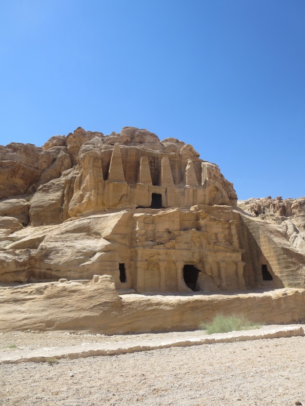
The entry to Petra begins along a gently sloping path with tombs carved in the rock wall on either side. Here is a photo of the Obelisk Tomb (see the obelisks at the top) and beneath it the Bab as-Siq Triclinium, two tombs one on top of the other, the latter having a place of gathering for sacred feasts to honour the dead.
The ancient Nabataeans were ingenious in gathering every possible drop of water in what would otherwise be a dry, harsh, inhospitable land. They carved channels to carry run-off rain water to storage cisterns whence it could be drawn upon as needed. The rain falling on the hard rocks creates flash floods, which was a major problem for the city in the valley below, so the Nabataeans ingeniously bore a tunnel through sheer rock to divert the water to another valley where it could be stored. This water-management system was later damaged by earthquakes and sealed by rock falls so that for several centuries flood water did again flow down the valley causing erosion. The Nabatean system was restored again after 1963 when a group of French tourists were caught in flash floods and 23 of them were washed to their deaths.
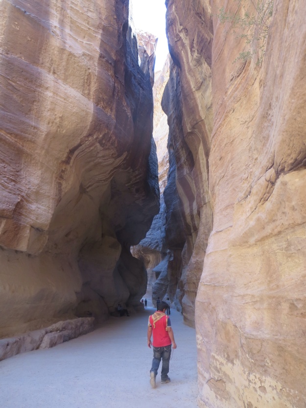
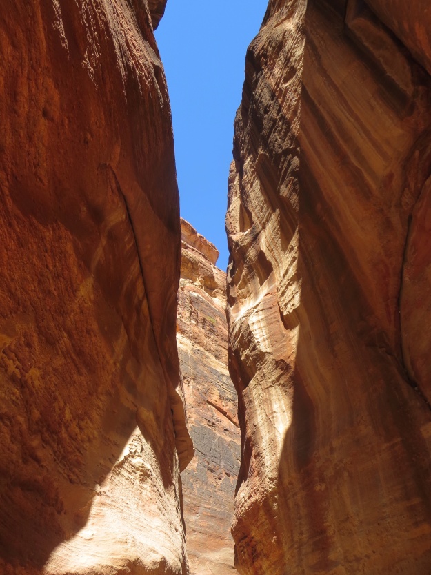
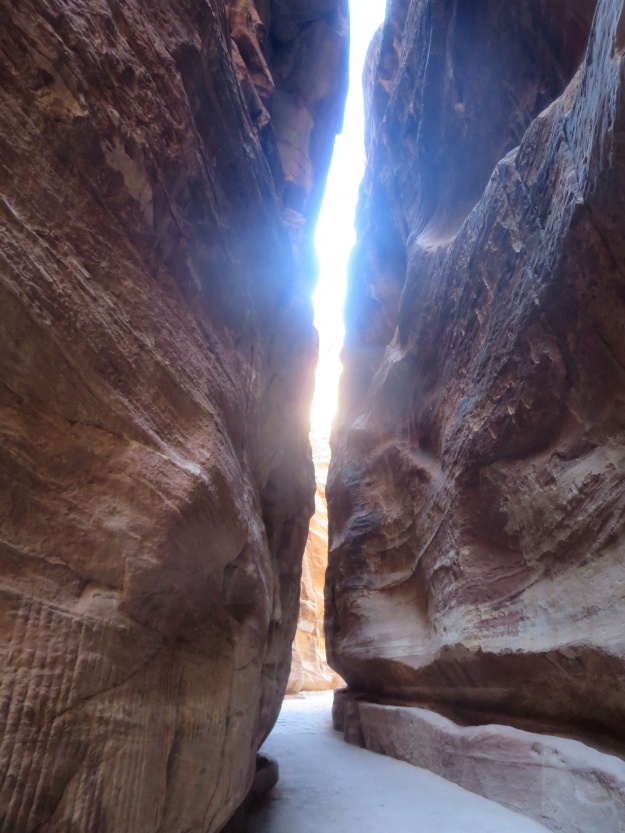
The entrance path wends through the siq (lit: “shaft”) or gorge, a spectacular narrow passage through a natural crack in the sandstone rock which the ancient Nabateans used to their advantage as a route for ceremonial and burial processions, carving out a wider passage where needed,along with niches for gods, and other carvings. It is 1.2 kilometres long and from 90 to 182 metres high.
The photos don’t do it justice!
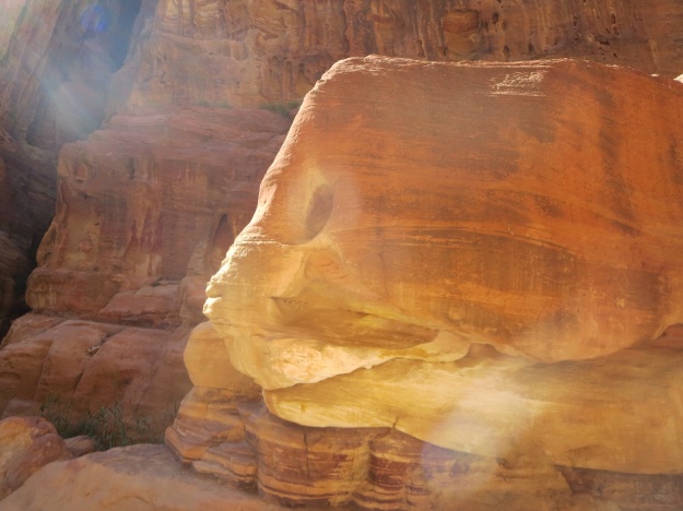
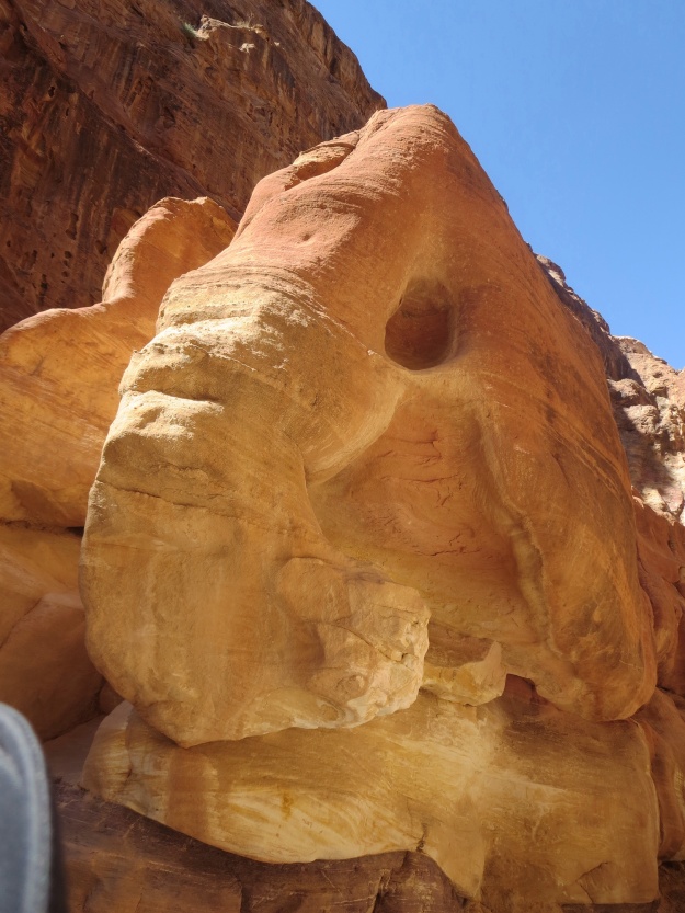
Along the way, there are various carvings, as mentioned above. Here is one clever carving that from the side looked like a fish, but from the front took on the appearance of an elephant.
In another place, there is a carving of a train of camels. It is now quite worn away by erosion, but you can just make out the feet of a camel-herder leading the train and the two sets of feet of the camel behind him. The hump of the camel is very vaguely outlined in the rock, but everything else of the man and the camel is eroded into dust and washed away.
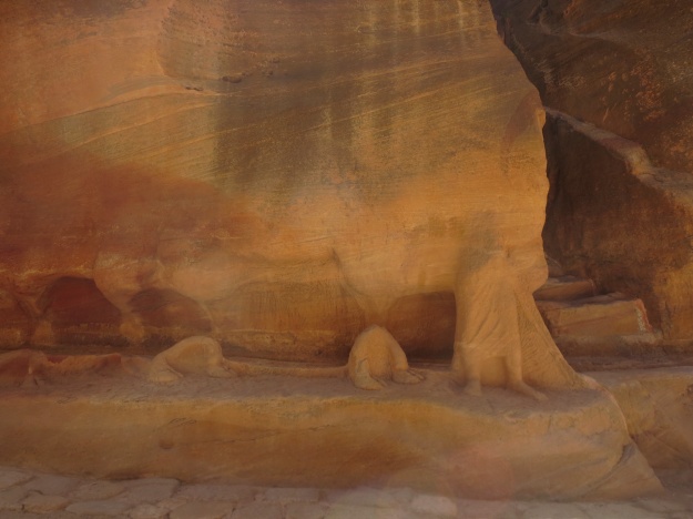
Rock carving in the siq – you can see the lower leg and feet of the camel driver in bottom right; moving to the left are the two sets of padding hooves of the lead camel; the vestiges of the camel’s hump appear on the wall above; the height was about four metres
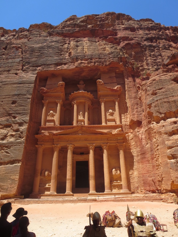
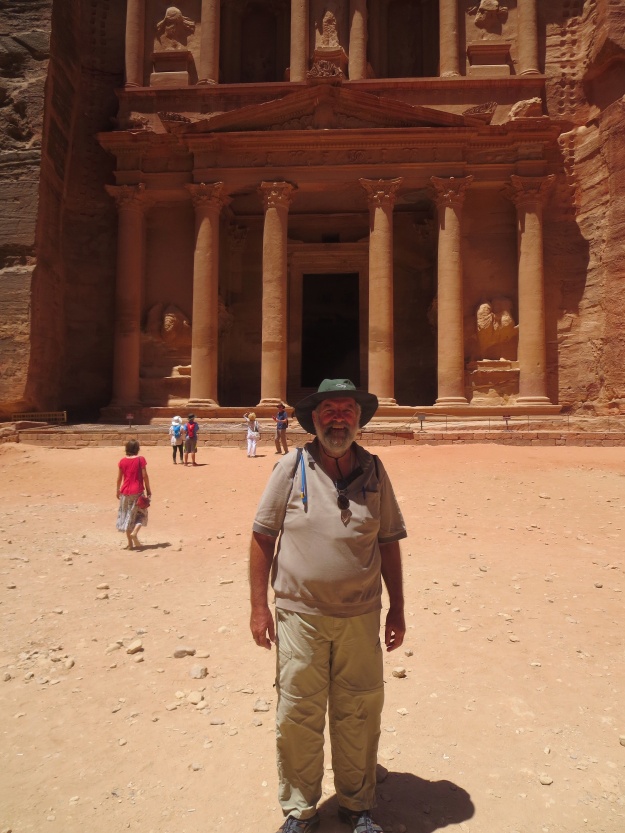
The gorge opens out onto the Treasury. It is the iconic building of Petra. It has featured in books, legends and Hollywood movies. It is 30 metres wide and 40 metres high, carved out of the rock face, with an inner chamber 12 metres square. It is astonishing to try and imagine how the ancient Nabataeans were able to do this carving work, reaching up to such great heights.
Again, the photos don’t do it justice!
As you can see from the foreground, in contrast to the narrow entrance gorge, in some places only 3 metres wide, the Treasury is in a wide valley. The path continues further along the valley to other carved sites, all impressive in their own right, but, perhaps unfortunately, not as spectacular as the Treasury, so I admit there is a bit of a sense of “let-down” as one continues to explore the ancient city ruins.
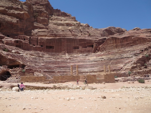
Further down the valley on the left-hand side was a Roman-like Amphitheatre, carved out of the rock. Built in the 1st century AD to accommodate 3,000 people, it was later expanded to accommodate 7,000 people. The shape and the rock assured fantastic acoustics. The sandstone is now quite badly eroded in places.
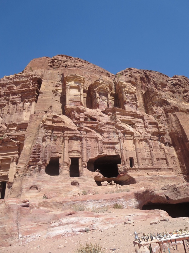
Further along again, up a slope on the right-hand side, are a series of tombs carved into the rock face. They are called the Royal Tombs, though actually they were for Nabataean dignitaries rather than monarchs.
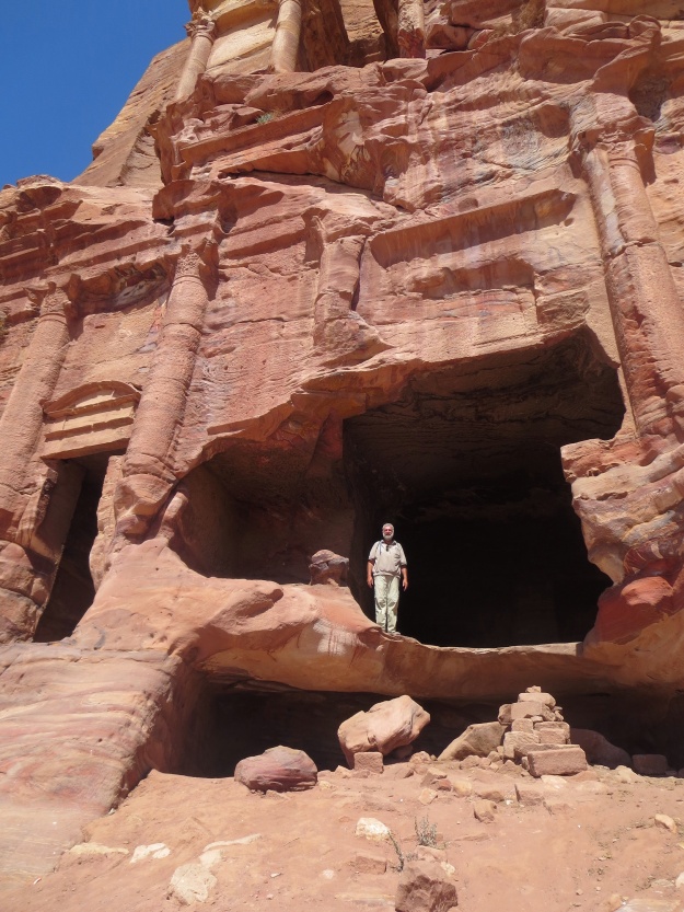
Having come out of Lazarus’ tomb in Bethany a week ago, I could not resist coming out of a Royal Tomb!!
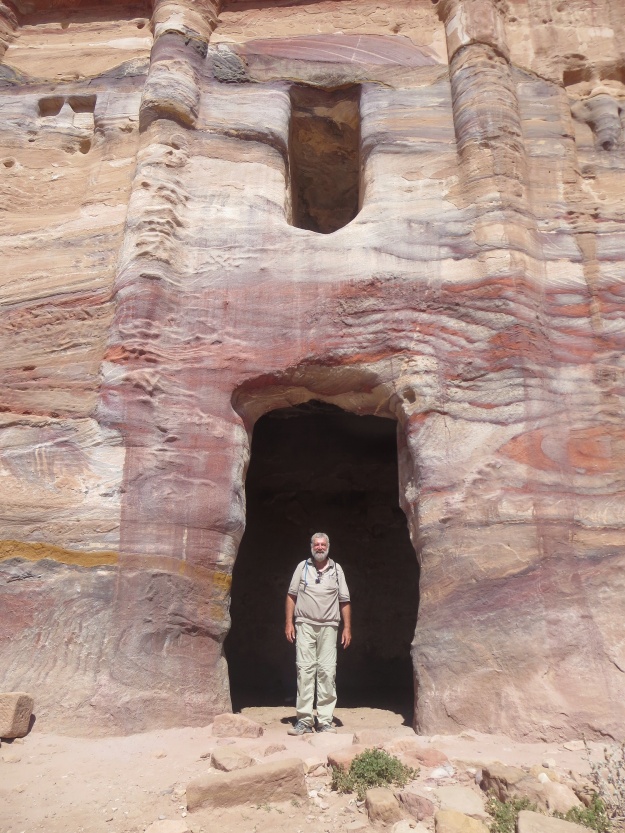
Pilgrim emerging from another cave carved out of the rock; it is not a tomb as the tombs are distinguishable by the decorative features carved around the front-facing entrance.
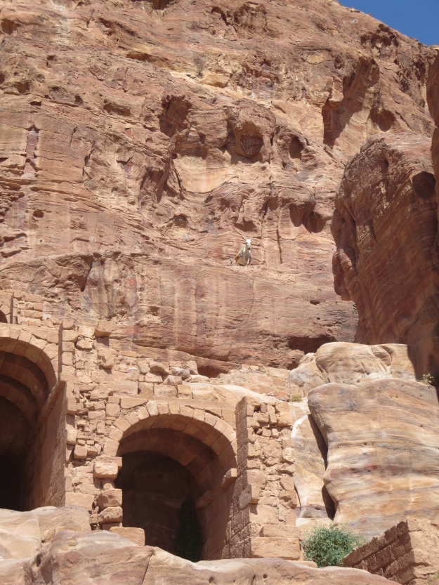
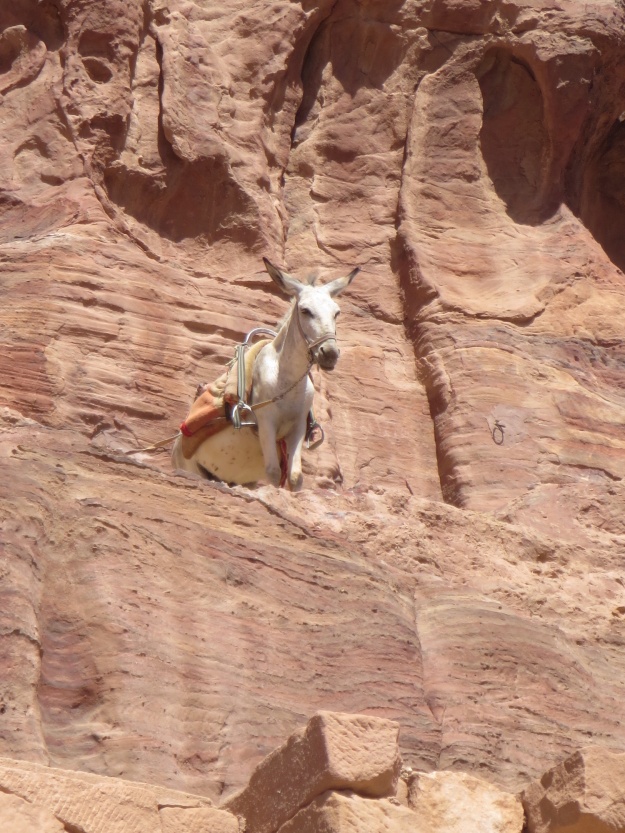
As we were gazing in awe at the carvings in the cliff face, I noticed another donkey, this one not coming out of a tomb, but
standing higher up, on a ledge. I have no idea how he got there, but there must be a path from the side. He certainly did not climb the cliff face!!
He did not look suicidal, as if he was about to jump, but was quite calm and passive, indifferent to the spectacular scene which he was overlooking!!
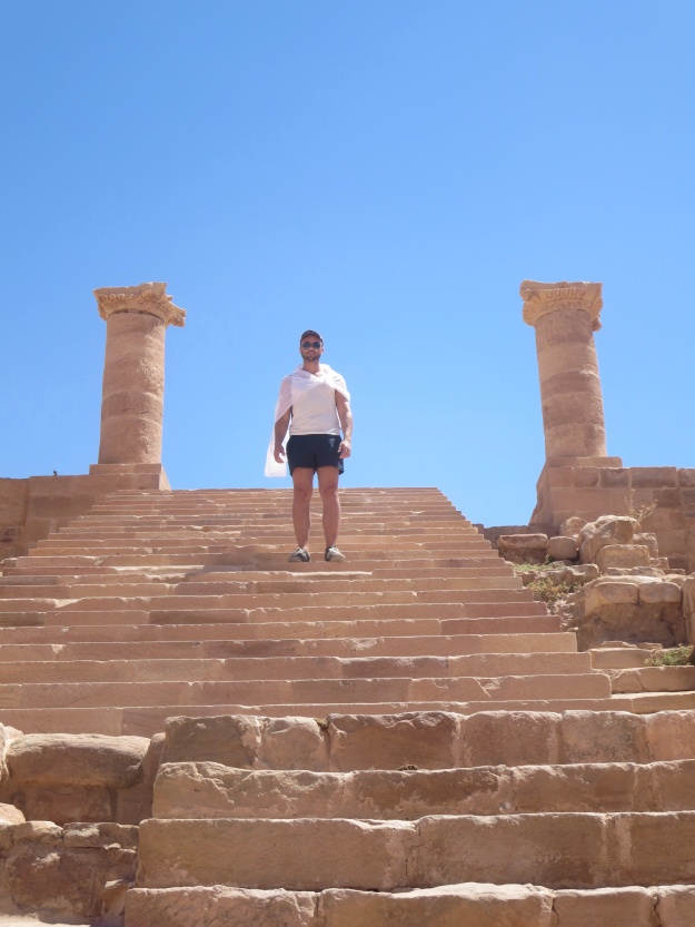
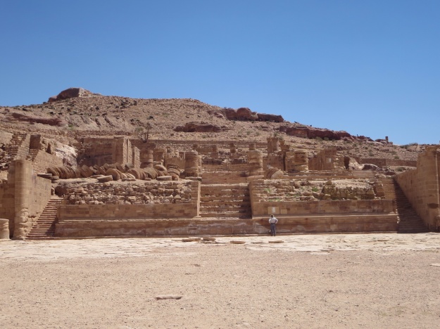
Further down, near the colonnaded Roman street, a series of steps and a large plaza were all that remained of the Great Temple.
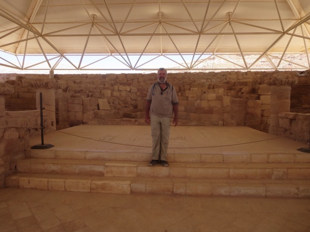
The man in the photo is Charl, my South African photographer companion for the day.
There was also a large residential area with houses for the ordinary people built along the edge of the valley. However, these were not as substantial as the more elite housing and they collapsed in the earthquakes that occur in the area. All that remains is an area strewn with bricks of the ruined houses.
The Nabataeans had become Christian, so at least one of the carved tomb buildings had been converted into a church. But there were other churches besides, from the Byzantine era.
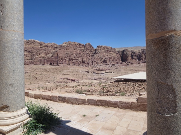
Looking out between two of the pillars of another church; the remains of the Byzantine Church are under the white awning to the right; the plain is strewn with bricks from the collapsed houses of the ordinary folk; the Royal Tombs are carved into the cliff face in the background
There were other sites to see, which involved steep climbs, up the High Place of Sacrifice, another one to Ad-Deir (The Monastery) which involved 800 steps. As it was a very hot day and we had already been on our feet for a few hours, we settled for a buffet lunch instead. While the views from both of these heights would have been spectacular, I guess the carved Monastery cave/building would have been much like those we had already seen.
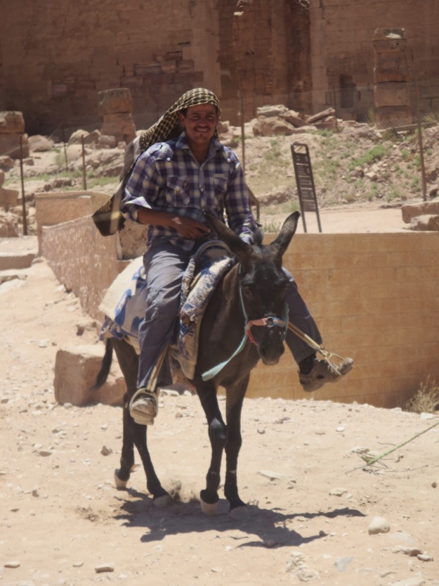
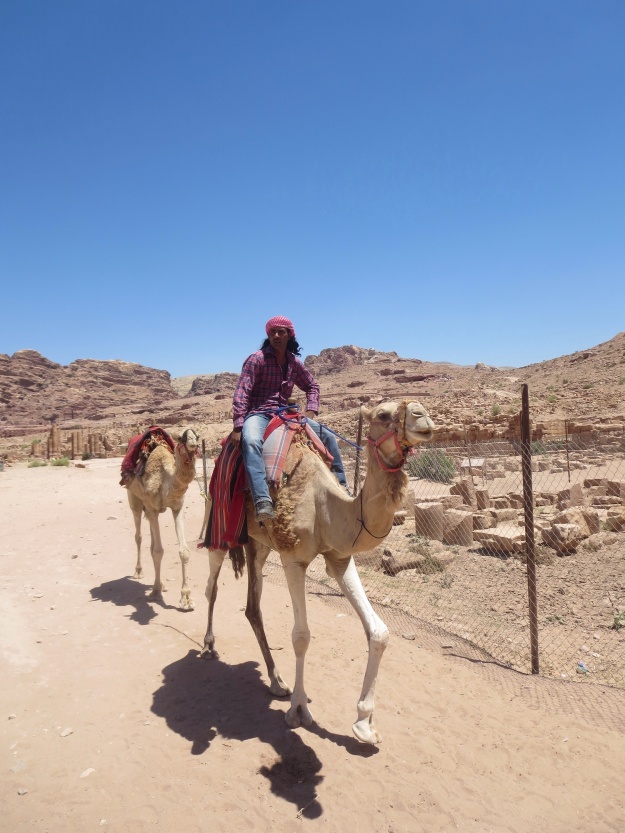
We made our way back up the valley towards the entrance gate for the bus station and the modern town of Petra. Local Arabs tried to entice us to take a donkey or a camel or a horse, but we remained faithful to shank’s pony!!
We caught the bus at 5.00 for the three hour trip back to Amman. I slept some of the way. We arrived back in the dark and I caught a taxi to my hotel and went to bed after a long and enjoyable day.
Shalom, Peace, Salaam.
